
One of my summer goals was to explore all the hikes in the Presidio so Lindsey and I headed out for a walk on Saturday and ended up walking for over 9 miles! We headed over to the Presidio Golf Course and passed some gorgeous houses along the way.
 We wandered down the Mountain Lake trail which I explored last time but this this time we turned down the Park trail instead of heading towards Baker Beach.
Running from the 14th Avenue Gate to Crissy Field, the Park Trail is the major north-south corridor through the center of the Presidio. Its southern trailhead begins within the historic Public Health Service District, a tranquil neighborhood where an historic hospital, nurses’ quarters, and support buildings have been revitalized as charming places to live and work. The route continues upward through the historic Presidio Golf Course, peaking within the forest along Washington Boulevard. It’s downhill from here past San Francisco National Cemetery and the cavalry stables until reaching the sandy shores of San Francisco Bay. Given its central location, the Park Trail offers plenty of opportunities to strike out in a new direction on a connecting trail to reach other highlights in the park. For example, take a scenic detour on the Cemetery Connector Trail to discover a wonderful view from the National Cemetery Overlook.
 We accidentally took the scenic detour mentioned in the article above and WOW! Did not know this existed in the city! Seriously a gorgeous hike - we took a ton of pictures.


 After our awesome detour we jumped on the Bay Area Ridge Trail and headed towards the ocean. It took us by the Rob Hill Campground which I had never seen before (full of kids that day so it was CRAZY loud) and then we followed the road a bit before winding up at the Golden Gate.
The Bay Area Ridge Trail is a planned 550-mile loop tracing the highest points around San Francisco Bay. To date, 338 miles are open to the public, including the Presidio section. Within the Presidio, the trail leads visitors along the park’s ridgeline from the Arguello Gate to the Golden Gate Bridge, providing sweeping panoramas of the park, bay, and ocean. Along the way, pause to enjoy the striking Andy Goldsworthy sculpture Spire, the rolling hills of San Francisco National Cemetery, and coastal gun batteries. The Bay Area Ridge Trail continues across the Golden Gate Bridge into the Marin Headlands.
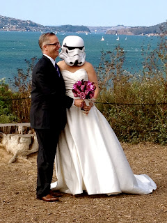
 We found the end of the Batteries to Bluffs Trail- its less than a mile but its looks pretty intense, can't wait to check that one out. We made our way under the Golden Gate Bridge and took a tourist pic although our pic wasn't nearly as epic as the couple who just got married- just a little bit of a Star Wars fan eh?


Running from the 14th Avenue Gate to Crissy Field, the Park Trail is the major north-south corridor through the center of the Presidio. Its southern trailhead begins within the historic Public Health Service District, a tranquil neighborhood where an historic hospital, nurses’ quarters, and support buildings have been revitalized as charming places to live and work. The route continues upward through the historic Presidio Golf Course, peaking within the forest along Washington Boulevard. It’s downhill from here past San Francisco National Cemetery and the cavalry stables until reaching the sandy shores of San Francisco Bay. Given its central location, the Park Trail offers plenty of opportunities to strike out in a new direction on a connecting trail to reach other highlights in the park. For example, take a scenic detour on the Cemetery Connector Trail to discover a wonderful view from the National Cemetery Overlook.


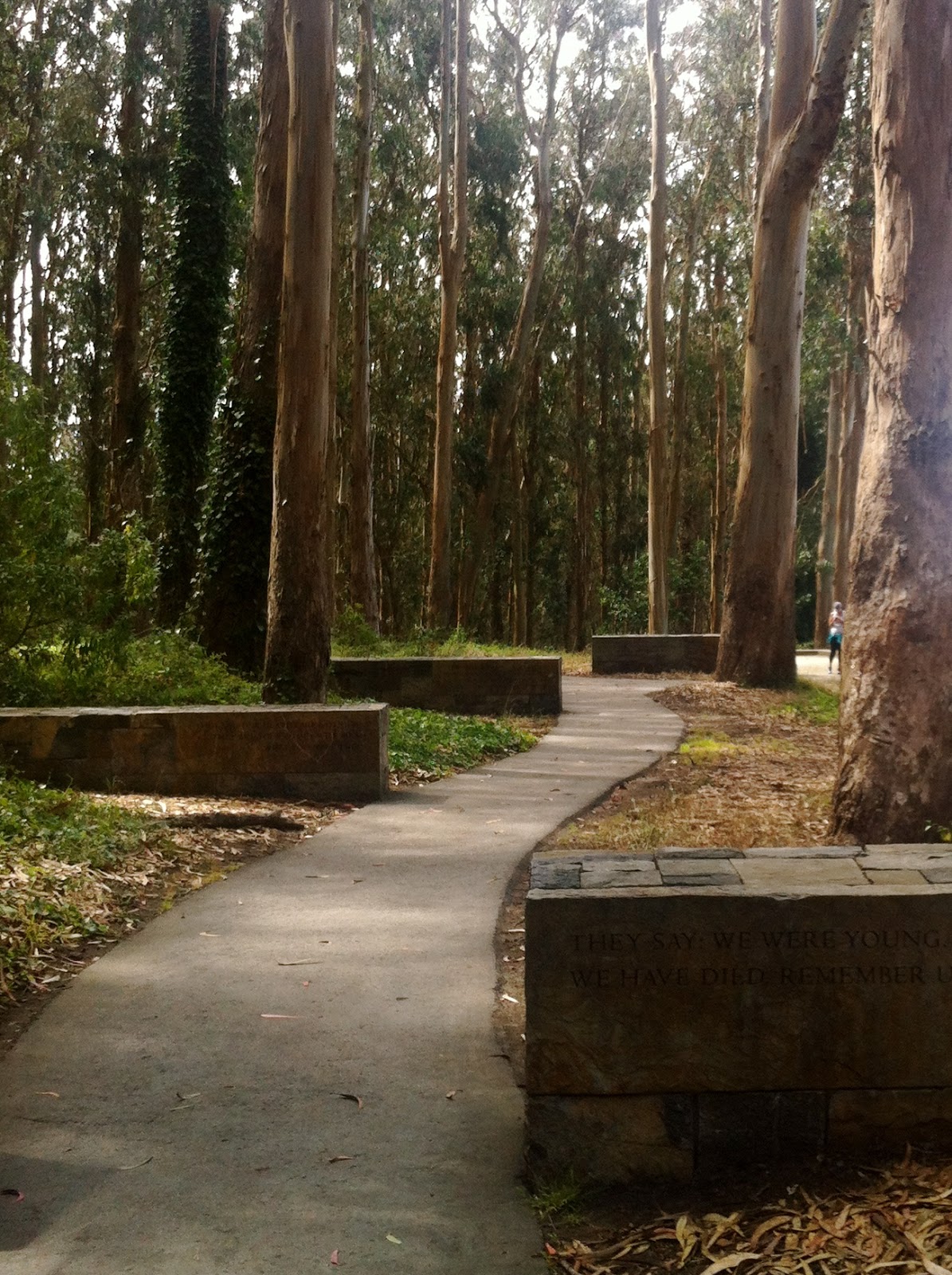
The National Cemetery overlook had an amazing view. Lines from a poem 'The Young Dead Soldiers' were written on the stones leading to a spot overlooking the cemetery. It was a beautiful spot and we were pretty stoked we accidentally made that detour.


The Bay Area Ridge Trail is a planned 550-mile loop tracing the highest points around San Francisco Bay. To date, 338 miles are open to the public, including the Presidio section. Within the Presidio, the trail leads visitors along the park’s ridgeline from the Arguello Gate to the Golden Gate Bridge, providing sweeping panoramas of the park, bay, and ocean. Along the way, pause to enjoy the striking Andy Goldsworthy sculpture Spire, the rolling hills of San Francisco National Cemetery, and coastal gun batteries. The Bay Area Ridge Trail continues across the Golden Gate Bridge into the Marin Headlands.


Ps. I'm on Instagram now and you should follow me- and yes I'm probably the last person ever to join.
No comments:
Post a Comment